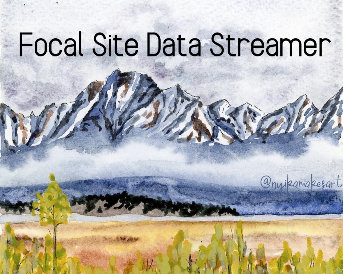
Linking Remote Sensed Metrics to Field-collected Data: The Focal Data Site Streamer
A tool for field researchers to expand analysis possibilities
People

Nyika Campbell
Learner · University of Colorado Boulder
Nyika works as a lab manager for the Mountain Ecology and Biogeography lab at CU Boulder.
Olivia Ross
Learner
Olivia Ross!
View learner fileEmily Nagamoto
Learner
View learner file
Lauren Walker
Learner · University of Oregon · she/her
Day 1
Team Norms and Decision Making
Our team norms:
-
Usage of AI in our Project
- During the ESIIL Summit: broad use of LLMs with disclosure for non-coding AI use
- Following the ESIIL Summit: discuss use of AI for remainder of project
-
How our Team Makes Decisions
- Full transparency, err on the side of over communication
- Small decisions (e.g., edits to the Github, new data sources): communication over slack
- Larger decisions (e.g. sharing content, big updates): ask to meet as a group
- Love it, live with it, hate it - if anyone is with the third option, continue the conversation
-
Authorship
- When sharing tool outside of group, asking consent from team first
- Discuss sharing and authorship as project develops
-
Communication
- Contribute to a space where everyone feels comfortable to bring concerns, questions, and comments to the group early
- Communicate early and often!
Our decision making strategy:
Full transparency, err on the side of over communication. Small decisions over Slack; larger decisions require meeting as a group. Use gradients of agreement — if anyone "hates it," continue the conversation.
Initial Inspiration
Day 2
Our question 📣
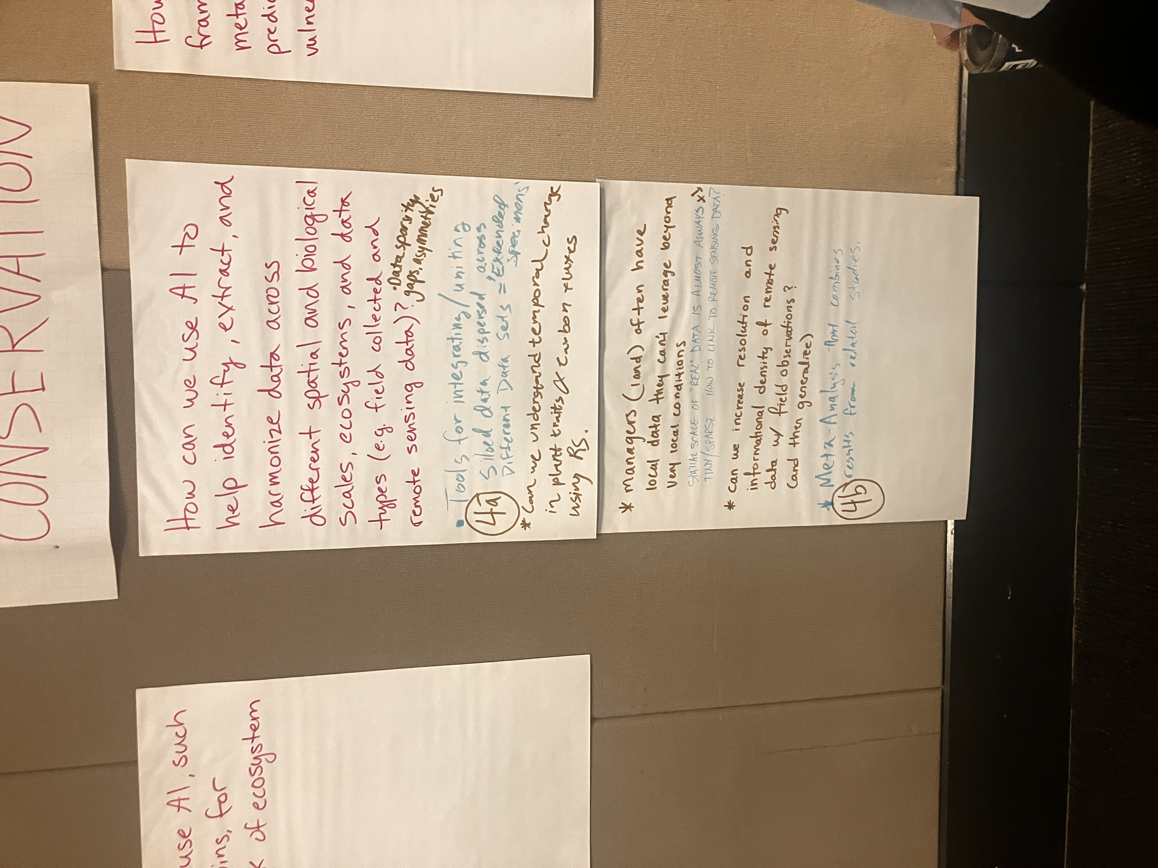
How can we leverage AI to more efficiently harmonize broad extent spatial datasets for use at the focal site scale?
Project Goals
Short term
- [ ] Make an agent.md file
- [ ] Make a prompt log
- [x] Make a data source list
- [x] Pick 3 data sources to do tests on
- [ ] Write an overall workflow for model selection/download
Long term
- GUI usable for land managers
- Add feature that helps select data types depending on the project goals/scale/extent etc.
- Make a light enough model to run locally to support data privacy and sovereignty
Project Phases
- Get group members competent in coding with IDE agents and github
- Start developing workflow for dataset pulling
- Create UI that allows land managers to do this
Hypotheses/Intentions
We aim to empower researchers working with field data at focal site scales to find, add, and utilize larger publically available remote-sense datasets in their workflows.
Why this matters (the “upshot”) 📣
This matters because: This data is important for planning and processing field data collection, but it can be difficult a repetitive to download and process.
People who could use this: We imagine land managers, graduate students, and ecological researchers using this tool.
Data sources we’re exploring 📣
Promising data sources:
- PRISM Climate Data (annual): High-resolution gridded climate data for the contiguous US
- MODIS Land Surface Temperature (1 km): MOD11A1 daily land surface temperature and emissivity
- USGS Digital Elevation Model (DEM): National Elevation Dataset; write code with Elevation, then convert in R
- National Land Cover Database
- Open Street Map
Day 3
Team Photo
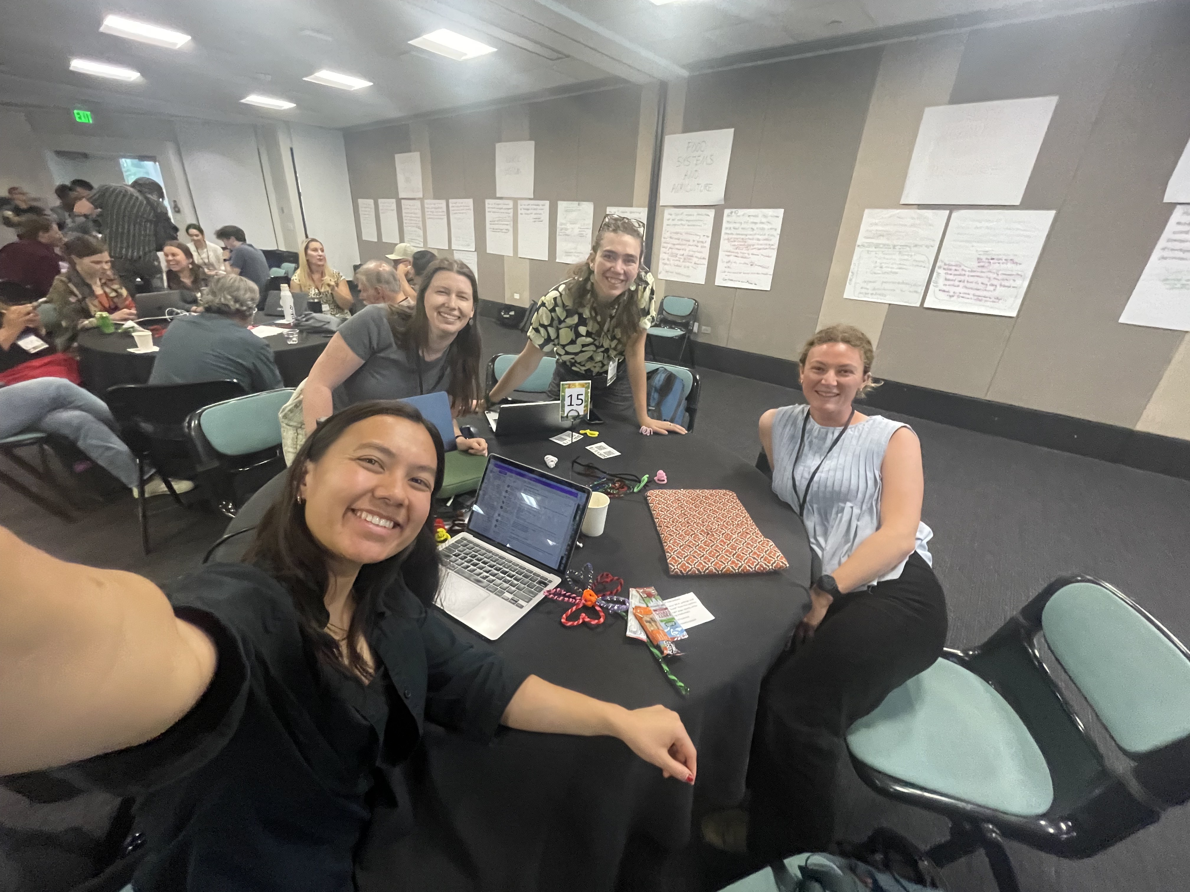
Team members and collaborators who contributed to this project.
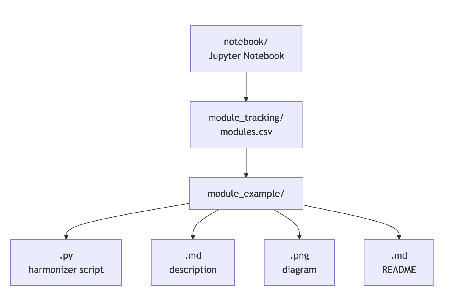
Our process 📣
Plan for Jupyter notebook modules
![]()
Flowchart of data processing
Challenges identified
- Learning how to navigate GitHub and CyVerse (for some of us!)
- Deciding which LLMs to use, nice ones we have access to now or ones we are more likely to use in the future
- Running LLMs locally
What’s next? 📣
Short term:
- Improve skills in navigating and connecting VS Code, Python, Jupyter Notebook, and LLMs
Long term:
- Convert this into a GUI with the option to choose from more datasets
- Add a feature/flowchart that helps researchers select data types depending on the project goals/scale/extent (especially for climate data)
- Make a light enough model to run locally to support data privacy and sovereignty
Cite & Reuse
If you use these materials, please cite:
Summit Team. (2026). Summit Group 2026 Team 15 — Innovation Summit 2026. https://github.com/CU-ESIIL/Summit_group_2026_15
License: CC-BY-4.0 unless noted.